SOUMAGNE (BE) - 2011-06-23 15:06:08
- Magnitude 1.5
Last update : 2011-07-05 08:06:34 Belgian time
Main parameters
| Date and time |
2011-06-23 15:06:08 UTC
2011-06-23 17:06:08 Belgian time |
| Type | Known mine explosion |
| Magnitude | ML 1.5 |
| Region | SOUMAGNE (BE) |
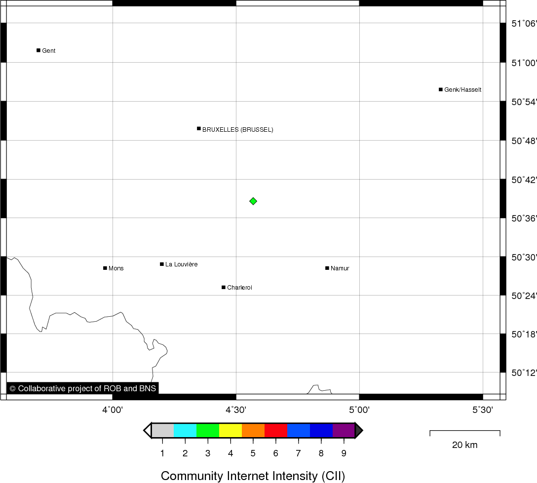
| Epicentral coordinates | 50.606° N, 5.712° E Uncertainty ± 4.2 km |
| Depth of hypocenter | 3.0 ± 3.4 km |
Data source : ROB (Royal Observatory of Belgium)
Location map
Quake measurements
Measurements by the Belgian seismic network
| Station | Epicentral distance (km) |
P-Wave arrival (hh:mm:ss.ss) | S-Wave arrival (hh:mm:ss.ss) | Maximal ground displacement (nm) |
|
|---|---|---|---|---|---|
| Code | Place | ||||
| LCH | LA CHARTREUSE | 9 | 15:06:10.08 | 15:06:12.02 | - |
| STI | SART TILMAN | 11 | 15:06:10.08 | 15:06:12.17 | - |
| MEMS | MEMBACH | 21 | 15:06:12.14 | - | - |
| MEMH | MEMBACH | 21 | 15:06:12.22 | - | - |
| EBN | EBEN-EMAEL | 21 | 15:06:13.45 | - | - |
| CLA | CLAVIER | 36 | 15:06:14.50 | - | - |
| GES | GESVES | 51 | 15:06:17.68 | - | - |
| WLF | WALFERDANGE | 109 | 15:06:28.69 | - | - |
| MRD | MAREDSOUS | 75 | 15:06:36.33 | - | - |
Macroseismic
Data
| Total number of responses | 1 |
|---|---|
| Intensity III | 1 |
Attention! The intensities derived from the macroseismic enquiry are raw unverified data.
Map
Data policy
Please read on this notice to learn more about our data policy.