UERZIG (DE) - 2017-03-20 13:27:35
- Magnitude 2.3
Last update : 2017-03-21 13:17:38 Belgian time
Main parameters
| Date and time |
2017-03-20 13:27:35 UTC
2017-03-20 14:27:35 Belgian time |
| Type | Quarry blast |
| Magnitude | ML 2.3 |
| Region | UERZIG (DE) |
| Epicentral coordinates | 49.974° N, 6.979° E Uncertainty ± 1.3 km |
| Depth of hypocenter | 3.7 ± 1.7 km |
Data source : ROB (Royal Observatory of Belgium)
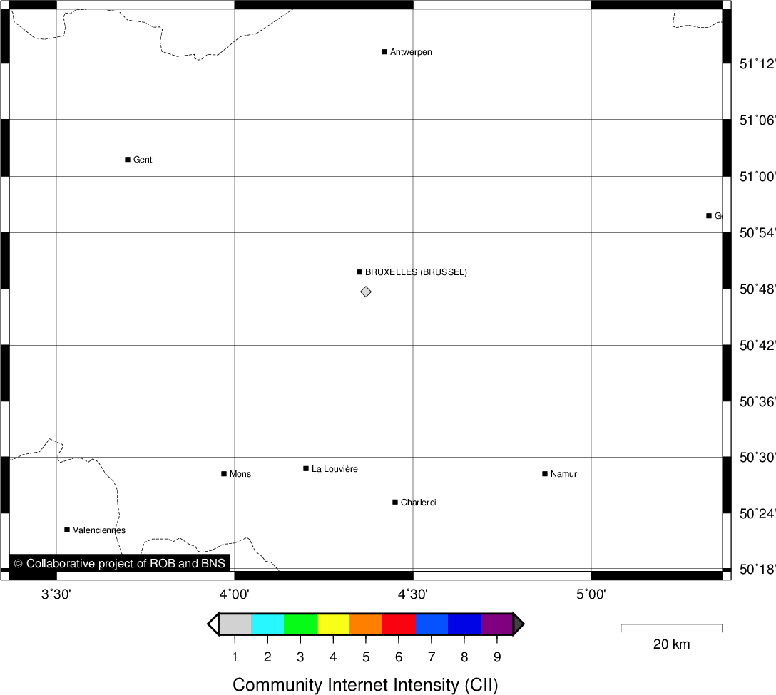
Location map
Quake measurements
Measurements by the Belgian seismic network
| Station | Epicentral distance (km) |
P-Wave arrival (hh:mm:ss.ss) | S-Wave arrival (hh:mm:ss.ss) | Maximal ground displacement (nm) |
|
|---|---|---|---|---|---|
| Code | Place | ||||
| KLB | KALBORN | 64 | 13:27:45.80 | - | - |
| WLF | WALFERDANGE | 69 | 13:27:46.77 | - | - |
| HOU | HOUVEGNEZ | 81 | 13:27:49.32 | - | - |
| MRG | MONT RIGI | 88 | 13:27:50.15 | - | - |
| MEMH | MEMBACH | 99 | 13:27:51.83 | 13:28:03.95 | - |
| MEMS | MEMBACH | 99 | 13:27:51.85 | - | - |
| STI | SART TILMAN | 121 | 13:27:55.23 | - | - |
| RCH | ROCHEFORT | 127 | 13:27:56.61 | - | - |
| CLA | CLAVIER | 129 | 13:27:57.36 | - | - |
| MRD | MAREDSOUS | 162 | 13:28:02.08 | 13:28:21.21 | - |
| DOU | DOURBES | 171 | 13:28:03.61 | 13:28:23.21 | - |
Macroseismic
Data
| Total number of responses | 1 |
|---|---|
| Intensity I | 1 |
Attention! The intensities derived from the macroseismic enquiry are raw unverified data.
Map
Data policy
Please read on this notice to learn more about our data policy.